Palm Springs International Airport (PSP)
Orientation and Maps
(Palm Springs, California (CA), USA)
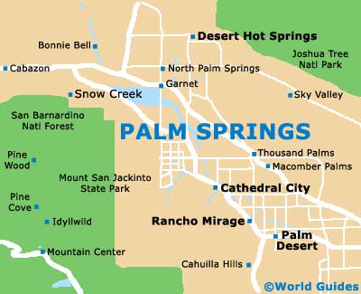
Located alongside the Colorado Desert, Palm Springs is a true oasis in every sense of the word. With a spectacular backdrop provided by the San Jacinto Mountains, the city of Palm Springs features plenty of sunshine, golf courses, palm trees and charming neighborhoods. This appealing desert resort is located in the Coachella Valley and is close to Rancho Mirage.
Next to the very heart of the city, the Palm Springs International Airport (PSP) is served by a number of major cities in the United States and is located off the North Gene Autry Trail. The city's Greyhound buses operate along the North Indian Canyon Drive and connect Los Angeles and many other top Californian destinations. Local buses within the Palm Springs area are owned and managed by SunBus and inexpensive day passes are available.
Palm Springs International Airport (PSP) Maps: Important City Districts
There are two main tourist information centers in Palm Springs. The Main Visitors Center is located on the northern side of the city, off the Tramway turnoff, while the Uptown Visitors Center can be found along the Palm Canyon Drive. Both offer good maps of the area, together with a range of tourism services and advice.
Many people visiting Palm Springs choose to cool down and take a ride on the Aerial Tramway, which offers spectacular views along its route to Mount San Jacinto. A number of hiking trails can be found in this area, particularly around the Mount Jacinto State Park, where in the winter months, skiing has become a popular recreational activity.
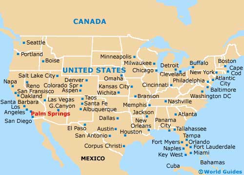
USA Map
California Map

Palm Springs Map